What is Lidar Scanner
Content updated: September 5, 2026.
Understanding Lidar Scanner Technology
Lidar Scanner technology measures range from reflected laser light. The term means Light Detection and Ranging. Combining distance with beam direction gives a profile or point cloud; achievable accuracy and resolution depend on the instrument, target and environment. Geographic mapping, architectural surveying and industrial navigation use different scanner designs, so their specifications are not interchangeable.
For industrial selection, the LiDAR scanner category separates ordinary sensing products from the ST27 Type 3, PL d / SIL 2 safety scanner. DLD, SDLD, DLDS and JPTG devices are non-safety perception equipment; use the exact approved safety device and validated control chain when a risk assessment requires personnel protection.
Working Principle of a Lidar Scanner
Pulsed time-of-flight ranging uses the round-trip travel time: distance is approximately light speed multiplied by travel time, divided by two. Other designs use phase or frequency-based methods. Beam steering can sweep a single plane or multiple directions. A fixed planar scanner produces a 2D slice, even with 360° horizontal coverage; 3D reconstruction additionally requires elevation measurements or a known, registered change in sensor position. NOAA's LiDAR explanation describes how airborne ranging and positioning data are combined for 3D mapping.
Technical Features of Modern Lidar Scanners
- High Precision Sensing
- Range accuracy and angular sampling must be checked separately
- Multi-beam systems capture complex geometries
- Advanced Operational Capabilities
- Rain, fog, dust and sunlight limits depend on the exact model
- Active ranging can operate without visible scene lighting
- Versatile Applications
- Environmental monitoring and forestry management
- Robotic navigation and obstacle detection
- Data Processing Requirements
- High-performance computing for point cloud analysis
- Advanced algorithms for real-time object recognition
Lidar Scanner Applications
In autonomous vehicles, a Lidar Scanner provides real-time environmental perception by detecting pedestrians, vehicles, and road obstacles within the sensor's validated detection limits. Construction professionals utilize Lidar Scanners for creating as-built documentation and 3D building models that streamline design processes. Natural resource management employs Lidar Scanner technology for forest canopy analysis and terrain mapping, enabling precise biomass calculations and flood risk assessment. Industrial facilities implement Lidar Scanners for indoor robot navigation and monitoring; a safety function requires a suitable certified device and validated integration.
Future Development of Lidar Scanners
Development priorities include smaller packaging, different beam-steering designs and improved data processing. These features involve tradeoffs in field of view, thermal behavior, resolution and environmental tolerance; a newer design is not automatically more accurate or suitable for a safety function. Compare current model evidence and application tests when evaluating this scanning technology.
DAIDISIKE Brand and LiDAR Product Overview
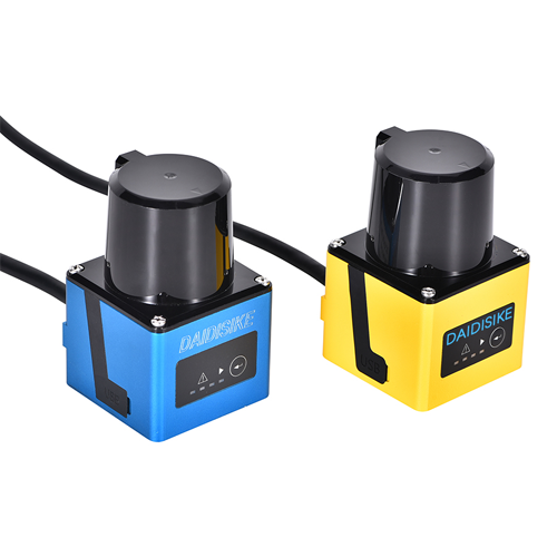
DAIDISIKE’s LiDAR is developed and manufactured with a focus on high performance and reliability. DAIDISIKE is a leading manufacturer specializing in the research, development, and production of high-performance, reliable LiDAR scanners. Our DLD series LiDAR products have been successfully deployed in the Chinese market for over a decade, earning widespread trust for their proven quality and performance through real-world applications.
We have introduced a range of LiDAR models, including:
- DLD05A3-3N: 5-meter detection range, ideal for high-precision, short-range detection scenarios.
- DLD20A5-5N: 20-meter detection range, suited for mid-range environmental monitoring and navigation.
- DLD30T-5N: current model-table range of 30 m at 90% remission and 10 m at 10% remission. The historical 40 m URL is not a protective-field specification.
- 5JPTG/10JPTG: Newly developed models with 5-meter and 10-meter detection ranges, optimized for performance and cost-efficiency.
- 100-meter LiDAR: Confirm the currently available model and its approved specification before selection; this category link is not evidence of a released SKU.
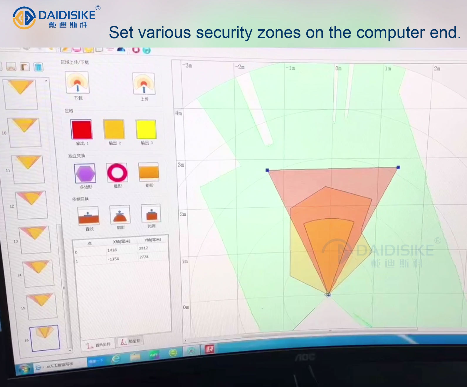
DAIDISIKE’s LiDAR scanners integrate obstacle avoidance, measurement, and real-time data transmission capabilities, enabling real-time data reception and signal alerts via computer. Known for their high precision, rapid response, and reliable performance, our products are widely used across various industries.
Application Scenarios
These are application categories, not approval of every listed model for a safety function. Where a failed detection could injure a person, confirm the required safety rating and application limits first; ordinary obstacle-detection zones cannot be credited as certified protective fields.
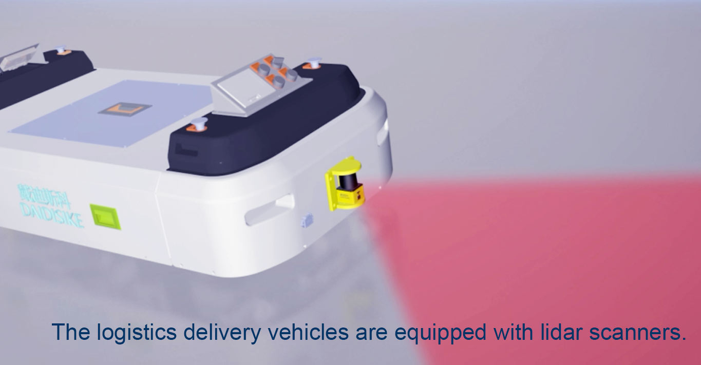
- AGV/AMR Autonomous Mobile Robot Navigation and Obstacle Avoidance: Supports planar navigation, ordinary obstacle detection and route-planning inputs. Protective field switching requires an appropriate safety scanner and validated safety-related controls.
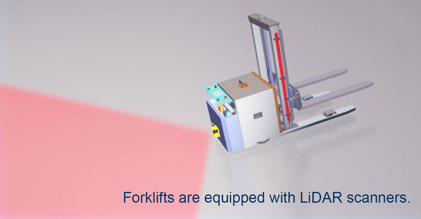
- Forklift and Tractor Collision Avoidance: Supports warning and operational obstacle detection around vehicles. Low speed does not by itself make a non-safety sensor suitable for personnel protection.
- Industrial Robot Workstation Safety: Certified safety scanners can form part of validated robot safeguarding. Ordinary industrial LiDAR may supply perception data but cannot substitute for that safety function.
- Logistics Sorting and Conveyor Line Protection: Supports object and occupancy monitoring near conveyors; hazardous access requires separately validated safeguarding.
- Smart Access Control and Entry Management: Supports presence information for entry management; anti-pinch or other safety functions need application-approved equipment and validation.
- Parking Lot and Toll Booth Vehicle Profiling: Confirms vehicle presence, identifies dimensions and positioning, and optimizes lane throughput efficiency.
- Construction Site Perimeter Safety: Supports perimeter monitoring and operational alerts within model environmental limits; detection alone does not establish site safety compliance.
- Volume and Contour Measurement: Measures 2D contours and occupancy of pallets, packages, or boxes, facilitating automated sorting and billing on production lines (requires coordination with clients on operational details).
- Elevator and Automatic Door Anti-Pinch Detection: Can provide door-zone occupancy data. Do not treat ordinary LiDAR as an approved elevator or door protective device without the relevant application evidence.
- Rail and Port Vehicle Safety Assistance: Performs low-speed area scanning for bridge cranes, yard vehicles, or rail vehicles to minimize blind spot risks.
- Crowd Management in Scenic Areas and Venues: Monitors crowd density and triggers congestion alerts to support operational scheduling.
- Agriculture and Specialty Vehicles: Enables forward obstacle avoidance and edge detection for orchard vehicles, sanitation trucks, and construction vehicles in complex terrains.
Product Advantages
- High-Precision Measurement: Select using documented range accuracy, repeatability and angular sampling for the exact model.
- Real-Time Data Transmission: Supports fast data transfer for real-time monitoring in dynamic environments.
- Versatile Applications: Offers multiple detection ranges to suit short-, medium-, and long-range scenarios.
- Robust and Durable: Rigorously tested for stable, long-term performance in challenging environments.
- Easy Integration: Match the documented electrical interface, protocol and software version to the receiving system.
Why Choose DAIDISIKE?
DAIDISIKE’s LiDAR solutions are tailored to meet customer needs, with customized configurations backed by a decade of market-proven reliability. Our products are used in fields such as smart manufacturing, autonomous driving, and smart cities. By choosing DAIDISIKE, you gain access to high-performance LiDAR products and dedicated after-sales support for your project. We welcome inquiries for OEM and ODM partnerships. For more LiDAR demonstration videos, please click on our YouTube videos: 1, Computer operation demonstration ; 2, 3D animation demonstration.